|
| |
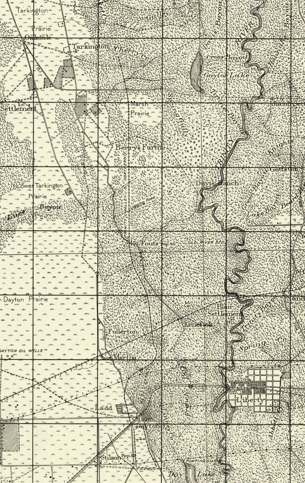
Trinity Valley & Northern Railway (Dayton Lumber Company), map showing route in 1911. |
|
| |
|
|
| Source: |
U.S. Coast & Geodetic Survey, 1943. Texas, Liberty quadrangle, Controlled Reconnaissance 1:125000 series. [Washington, D.C.]: U.S. Army Map Service, 1943. |
| Counties: |
Liberty |
| Communities: |
Dayton, Ladd, Fullerton, Kenefick, Fouts, Macedonia, Berry's Farm, Tarkington Prairie. |
| Remarks: |
The 1943 Army Reconnaissance map is based on 1911 surveys conducted by U.S. Coast & Geodetic Survey engineers. |
|
|
| |
<< Map Index |
|
| |
|
|
| |
|
|
|
|
|
|
 |
| Information and images were digitized and proofread from the original source documents by Murry Hammond. Contact Murry for all corrections, additions, and contributions of new material. |
|
| |
|
|