|
| |
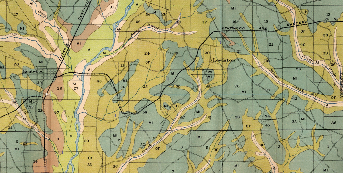
Kentwood & Eastern Railway Company (La.), Map Showing Route West of Kentwood in 1905. |
|
| |
Source: United States. A. H. Griffin and Thomas A. Caine. Soil Map, Louisiana, Tangipahoa Parish. [Washington, D.C.]: U.S. Department of Agriculture, Bureau of Soils, 1905. |
|
| |
|
|
| |
<< Map Index |
|
| |
|
|
| |
|
|
|
|
|
|
 |
| Information and images were digitized and proofread from the original source documents by Murry Hammond. Contact Murry for all corrections, additions, and contributions of new material. |
|
| |
|
|