|
| |
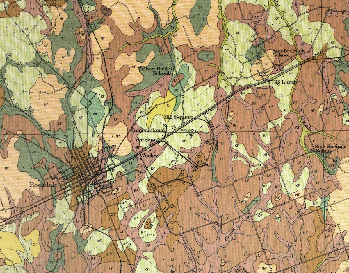
Map showing Rockdale, Texas and the Worley, Witcher, International, Big Square, Vogel and Big Lump coal mines in 1913. |
|
| |
|
|
| Source: |
Carter, William T. Soil Soil map, Texas, Milam County. U.S. Dept. of Agriculture, Bureau of Chemistry and Soils, [Washington, D.C.]: U.S. Gov. Printing Ofc., 1925. |
| Counties: |
Milam |
| Communities: |
Rockdale, Texas. Known mines documented here are the Worley Coal Company, Rockdale Lignite Company (Witcher), International Coal Company, Big Square Coal Company, and Big Lump Lignite Company. |
|
|
| |
<< Map Index |
|
| |
|
|
| |
|
|
|
|
|
|
 |
| Information and images were digitized and proofread from the original source documents by Murry Hammond. Contact Murry for all corrections, additions, and contributions of new material. |
|
| |
|
|